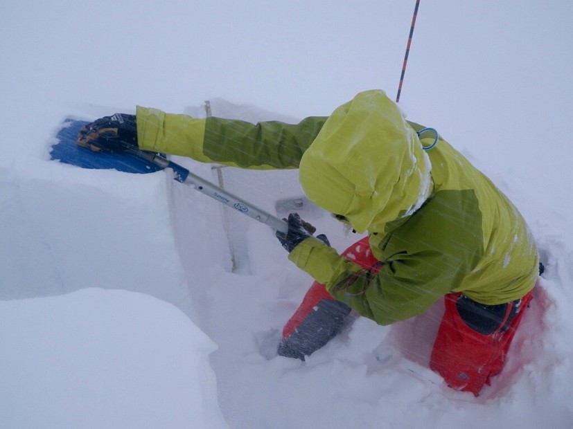
The Scottish Avalanche Information Service got underway for the winter today, and it was a snowy start to the season. For the next few months daily forecasts will be issued for the six operational areas, Lochaber, Glencoe, Creag Meagaidh, Southern Cairngorms, Northern Cairngorms and Torridon.
After a lot of snow and wind in the last few days it's a fairly complex picture at the moment, with a mix of wind scoured areas and deep deposits in lee areas.
In four of the six areas the hazard for this evening to tomorrow evening has been classed as 'considerable', which means that 'natural avalanches may occur - and a single person load is likely to trigger an avalanche on some slopes'.
The weather forecast for tomorrow is good, but thawing thereafter.


Comments