Forecasts from the Scottish Avalanche Information Service (SAIS) will be issued this coming weekend (6th & 7th May), it has been announced. The service, which usually closes in April, is being extended in forecast areas Lochaber and the northern Cairngorms due to the amount of late-lying snow still remaining.

'Late winter snow conditions above 1000m on North through East to South facing slopes in the Cairngorms and Ben Nevis/ Aonach Mor areas may present a hazard' they say.
'[A]dditionally, isolated snow fields remain on North to East aspects above 750m in most areas and will continue to present a slipping and falling hazard if firm and icy. Cornices are a hazard on some slopes, these are unpredictable and prone to collapse if newly formed. The potential for full depth avalanches due to snow creep producing glide cracks in deeper accumulations on steep East facing slopes also present[s] an unpredictable hazard.'
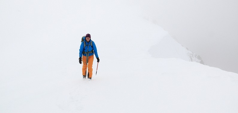
Even outside the two forecast areas, winter conditions are still very much in evidence up high (the photo above is Glen Shiel on Saturday 30th April, for instance). With this in mind the SAIS have advised hill-goers to check weather forecasts, and to keep a close eye on conditions on the ground wherever they're heading.


Comments