Map and Compass
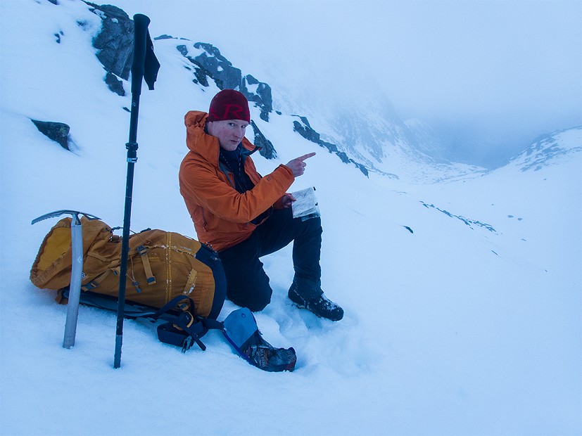
In the middle of winter, on the summit of Ben Macdui, I met a young couple with an alarming attitude to navigation. They'd made it this far, via a night camping on the plateau, using just a generic phone map displaying almost no topography. But left with about 90 minutes of useful daylight, they were now unsure of the best way down. I explained their options using a paper map that they seemed to regard as a quaint oddity. Satisfied they were otherwise well equipped, now knew not to go down the Goat Track, and had a night of unusually perfect weather to enjoy their adventure, I left them to it.
On an average Cairngorms winter day that might have been a very different anecdote.
We all make mistakes, but going without a map shouldn't be one of them
You see this sort of thing a lot, and I imagine it's increasing. These days of course we all use mapping apps, though hopefully most choose one that's fit for purpose. Navigating by phone is just so convenient, and if your analogue methods start feeling vague then you've got the backstop of electronics to accurately pinpoint your position. But batteries drain, and screens can be hard to use in the wet or cold. It's not excessive to carry both a phone and a paper map - it's just common sense. This is a message forever repeated by Mountain Rescue teams.
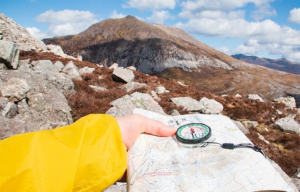
Many incidents and accidents in the hills start from simple navigational error. We all make mistakes, but going without a map shouldn't be one of them. Orientation is a basic essential, so pack a decent OS or Harvey map every time you're hillwalking or heading for a remote mountain crag. Of course, to use it properly you'll also need a compass, and at least some navigation skills. These are easier learned and less of a barrier than beginners might fear. Some people even enjoy navigating with a map!
"Don't just rely on your phone" says Ben Gibson, Mountain Safety Advisor for Mountaineering Scotland.
"I learned this for myself on a day out on the hills in early winter. I was doing a walk that I knew well, and planning to be off the hill before dark.
"Well, it got dark. I now had to navigate with just my mobile phone, because my map and compass were at home being useless.
"A phone is great to give you a location, but it's definitely harder to actually navigate with as you can't take bearings, and being constantly used in the cold will drain the battery at speed. In the dark, with an increasing sense of embarrassment, I had to work a lot harder to get off the hill safely."
Modern technology is best considered a supplementary tool, says Ben, not a like-for-like replacement for tried-and-trusted methods.
"A phone, smartwatch, or dedicated GPS device will give you a pinpoint location and provide convenient geo-located mapping" he says.
"But ultimately all gadgets rely on batteries that may run down or succumb to the effects of the cold. Doubling up with a map and compass is still the best plan.
"Whether the information you see is on a screen or paper, you still have to interpret the terrain and understand what it's telling you.
"I regularly use my phone when navigating, but very much as an additional piece of information to add to using the map and compass. Technology works well when it works. But is it making us lazy navigators?"
Ben's Top Tips for navigating with a phone:
- Download topographical maps for offline use
- Make sure it's fully charged
- Switch to flight mode
- Keep it warm, dry, and protected in an inner pocket
- Keep it separate from your compass to avoid the risk of reversing compass needle polarity
- Try using a rubber tipped stylus to operate your phone: touch screens are harder to manage with thick gloves or mitts
- And lastly, the big one: always carry a paper map (or print-out) and a compass too


