This topic has been archived, and won't accept reply postings.
This topic has been archived, and won't accept reply postings.

Elsewhere on the site
Alpine Conditions
This Alpine Conditions page gives a summary of what is being climbed at the moment, what is 'in' nick and what the prospects are...
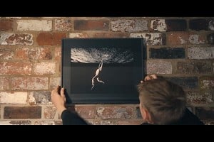

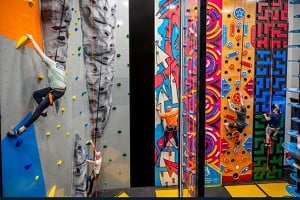
Fri Night Vid Finding Focus - Life Behind The Lens of a Climbing Photographer
This week's Friday Night Video is a portrait of a prolific climbing photographer from Wedge Climbing. Sam Pratt is well known in both the outdoor and competition scene but if you haven't heard of him, you've likely seen...