Climbs 200
Rocktype Limestone
Altitude 109m a.s.l
Faces NW
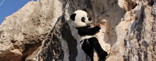
First costumed ascent of Shirini!? © Simon Alden
Crag features
A number of buttress that follow the line of fortifications (actually it's the other way round!) across the northern part of the island. Routes tend to be around 10 - 20m in length on rock which is usually steeper and more juggy than the rest of the island.
Some boulder problems have been documented, but there's probably loads more that can be done.
Blind Cave topo's can be found on the MCC Facebook page.
Approach notes
For Blind Cave, park at https://maps.app.goo.gl/hHPMnpZLSK7kxLccA , don't ask Google for directions, it will take you to the road at the top of the crag. Take the unpaved road from the hairpin that runs right past the crag. There's a big space at the foot if the rock that you could get a 4x4 onto. Smaller cars can be parked by the track a little further north, space for 2 or 3.
| Climbed at the Blind Cave and Monolith Buttress area in October and was pestered by mosquitoes. We all got heavily bitten and stopped climbing early because of them. cpoad - 28/Oct/19 |
Climbs at this crag
| Name | Grade | Stars | Type | Logs | Partner Ascents |
|---|
These climbs you have climbed by seconding or top-roping.
These climbs you have Dogged.
These climbs you Did not Finish.
Climbs are waiting to be checked by a crag moderator, and may not be accurate. Climbs can't be verified by a crag moderator, and they need more information to confirm it. Climbs are no longer climbable.
Moderators Updates to this page are checked by UKC volunteers Simon Alden and jordanclimbs