


It uses contour colour shading for easy identification of hills and valleys, and is printed on polyethylene to make it lightweight, tear-resistant and waterproof. The reverse side of the map contains mountain incident and first aid advice, navigation tips, useful visitor information, and geological information provided by the British Geological Survey.

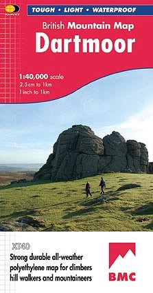
Dartmoor is the largest and wildest area of open country in southern England. Its varied landscape of open moorland, steep sided river valleys and ancient deciduous woodland provides great opportunities for walking. The granite tors for which the National Park is famous offer challenging routes and exciting bouldering.
“This inspiring new map will help walkers and climbers explore Dartmoor's wild granite landscapes, and like the granite, the map is virtually indestructible!” ~ Sir Ranulph Fiennes
You can pick up a copy of Dartmoor from the BMC online shop or call the Membership Services Team on 0161 445 6111 to order your copy.
- BMC member price - £10.95
- Non-member price - £12.95
The award-winning British Mountain Map series now includes maps of the Lake District, Snowdonia, the Dark Peak, the Yorkshire Dales, Ben Nevis & Glen Coe, the Cairngorms & Lochnagar, and Knoydart, Kintail & Glen Affric.


Comments